
Chicago 'L' train map
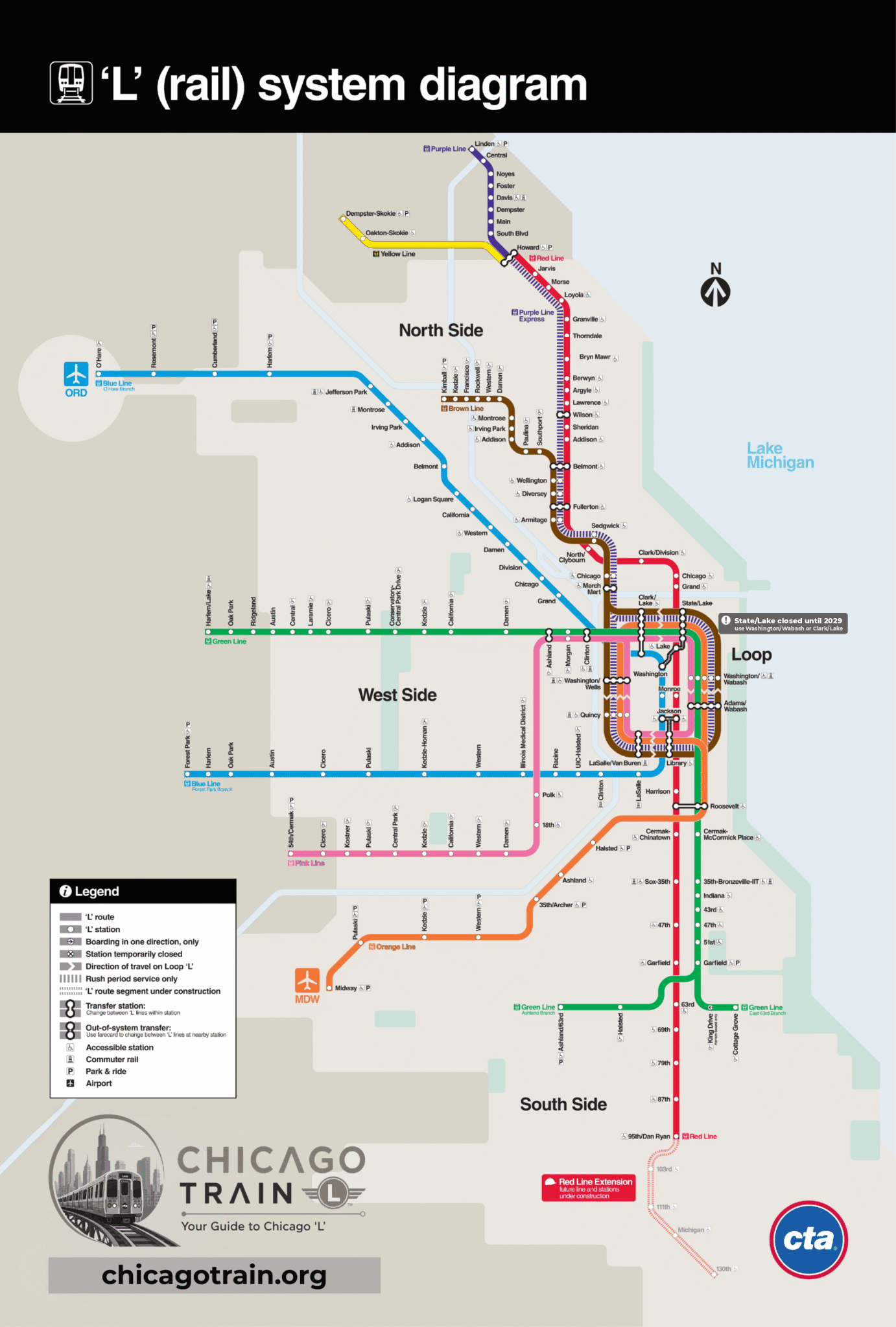
The full CTA rail system diagram — view it here, or download the PDF so it works underground with no signal.
What we corrected on this map
| Element | The original showed | What this map shows |
|---|---|---|
| State/Lake | Drawn as an open station | Marked closed with a note. It shut on 5 January 2026 and reopens in 2029; trains pass through without stopping. |
| Berwyn and Lawrence | Marked closed, plus a "closed until summer 2025" callout | Shown open, callout removed. Both reopened on 20 July 2025. |
| Bryn Mawr | Marked "95th-bound only" | Shown as an ordinary station. It has served both directions since the rebuild finished. |
| Bryn Mawr, Berwyn, Argyle, Lawrence | No accessibility symbol | Symbol added. All four are step-free — that was the point of the rebuild. |
Reading the map
The network line by line
Red Line24 HOURS
95th/Dan Ryan ↔ Howard
Blue Line24 HOURS
Forest Park ↔ O'Hare
Brown Line
Kimball
Green Line
Harlem/Lake ↔ Ashland/63rd / Cottage Grove
Orange Line
Midway
Purple Line
Howard ↔ Linden
Pink Line
54th/Cermak
Yellow Line
Dempster-Skokie ↔ Howard
Map questions
Right here — it is about 450 KB and stays sharp at any zoom, so it is worth saving to your phone before you go underground.
It is the CTA rail system diagram, with four details brought up to date — State/Lake marked closed, Berwyn and Lawrence shown open again, Bryn Mawr no longer single-direction, and the accessibility symbol added to the four rebuilt Red Line stations. Everything we changed is listed above. For CTA’s own unedited version, and for live alerts, go to transitchicago.com.
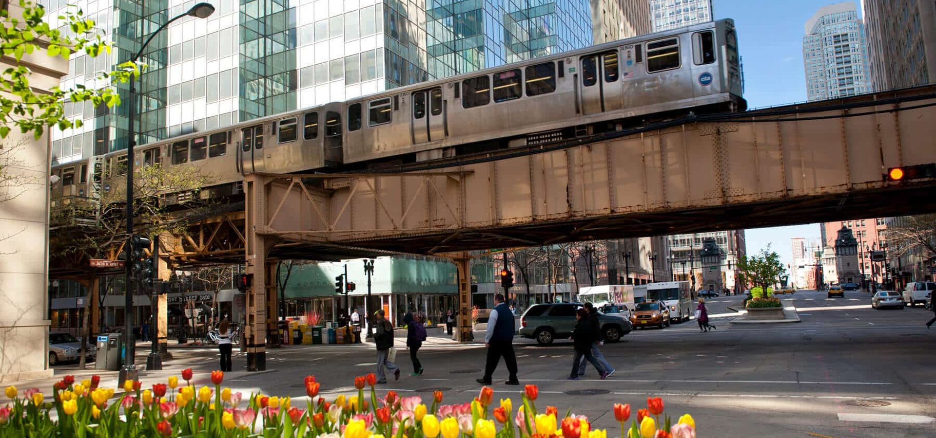
Because they are. The Brown, Orange, Pink and Purple Express trains run around a rectangle of elevated track in downtown Chicago — the Loop, which is what gives the neighborhood its name. Trains circle it and head back out the way they came, so downtown you want the destination on the front of the train rather than a compass direction. The Red and Blue lines run underneath in subway tunnels instead.
144 in total, of which 143 are open — State/Lake is closed until 2029. That is the count in the City of Chicago’s official ‘L’ stops dataset and in the CTA’s own schedule feed, which is what this site is built from and what you can count on the pages here. CTA’s marketing material sometimes quotes 145 or 146, most likely because it counts the subway and elevated halves of Clark/Lake and Roosevelt separately.